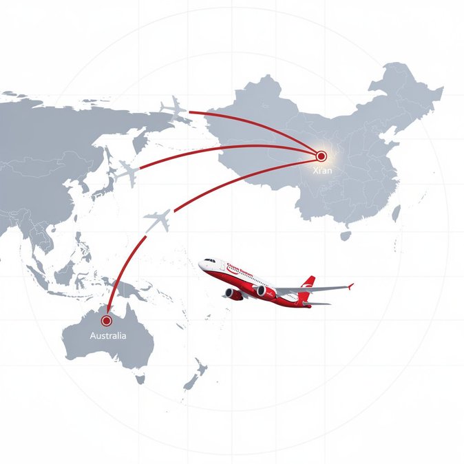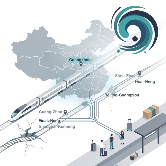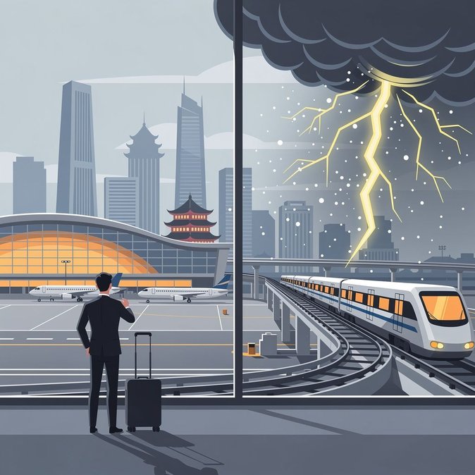
The Beijing Meteorological Service at 09:00 on 5 July raised the capital’s lightning warning to yellow, forecasting scattered thunderstorms from 14:00–23:00 with localised gusts up to Force 7 and potential hail. The storm track is projected to sweep from the north-west districts of Yanqing and Changping through the city centre before exiting south-east towards Tongzhou, coinciding with the late-afternoon peak at both Capital (PEK) and Daxing (PKX) airports. While the Civil Aviation Administration had not issued a ground-stop by press time, Beijing Capital Airport’s operations centre told airlines to expect “flow-control measures and possible runway closures” should lightning intensity exceed defined thresholds. During similar convective events in June, up to one-third of departures were delayed and several international arrivals diverted to Tianjin and Shijiazhuang. Carriers have begun proactive slot swaps to protect long-haul bank departures to Europe and North America. Urban transport authorities warned of temporary speed reductions on the Airport Express and Beijing–Shanghai high-speed rail segments that share elevated viaducts. Ride-hailing platforms have activated surge-pricing caps, but travellers should anticipate extended pickup times around CBD hotels between 17:00 and 21:00. For mobility and travel-risk managers, the alert highlights the importance of real-time itinerary monitoring even for “routine” domestic trips: crew duty-time limits, visa validity and overnight accommodation contingencies can all be affected by rolling weather delays. Employers are advised to remind staff to build extra buffer time into same-day cross-border connections and to carry paper copies of onward-flight bookings to expedite transit re-check at alternative airports if diversions occur.
Source: China Weather Network